


Description
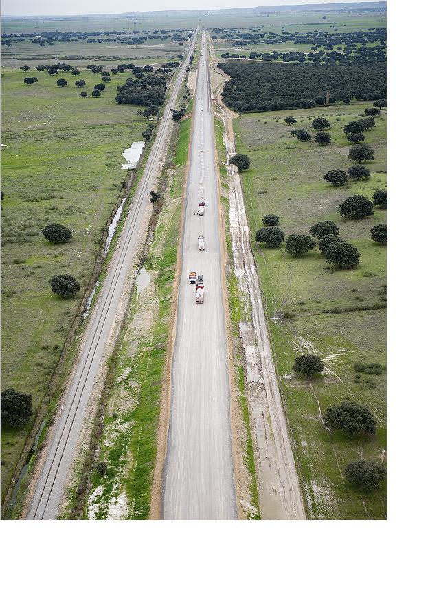
The sub-section is developed in the municipal terms of Talayuela, Peraleda de la Mata and Navalmoral de la Mata, within the province of Cáceres, belonging to the Autonomous Community of Extremadura. The route has a length of 8,500,000 m.
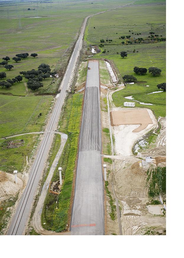
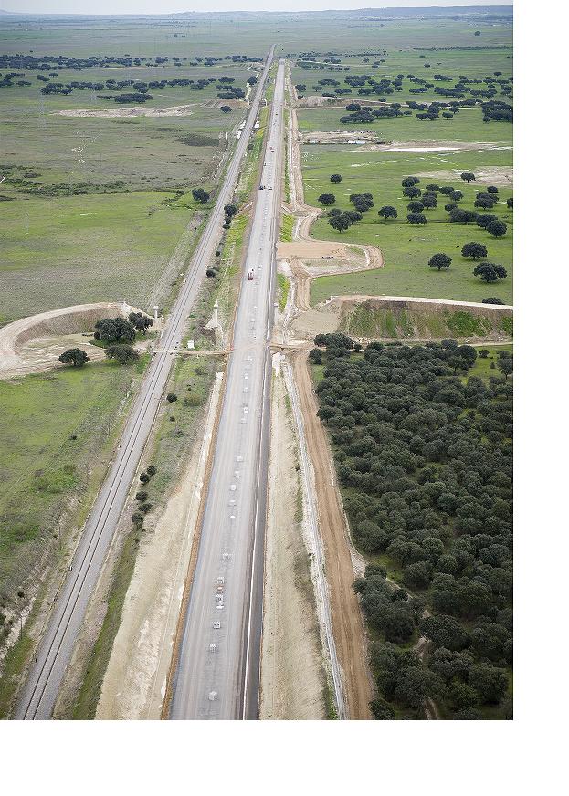
The section begins in the West, on the border between the provinces of Toledo and Cáceres, north of the Valdecañas Reservoir, in the municipality of Talayuela. The layout in plan begins with a straight line parallel to the current road, 34 m south of the same, and runs through a dehesa area crossed by streams and rural roads. Already within the term of Peraleda de la Mata, there is a circular alignment of radius 7,250 m that directs the route towards the Southwest; Crosses the stream of Santa Maria by means of a viaduct of 104 ms of length, and is located again in parallel line to the existing line, to 25 ms to the south of this, where ends the section.
With respect to the longitudinal profile, the trajectory starts at the +297,380 elevation in an ascending alignment of 0.50 thousandths inclination. From here to the end, the elevation of the L.A.V. It adjusts to the terrain, without large movements of earth, saving the crossing points of works of drainage and steps of fauna, finishing the quota + 289,702.